Laser Scanning for precise Revit and Sketchup drawings!
Get millimeter-accurate drawings to represent the existing conditions of your projects!
Laser scanning is a powerful tool that can provide accurate and comprehensive data about a site. By using lasers to capture precise measurements and details of an area, a laser scan creates a detailed 3D model of the site known as a point cloud. This point cloud can then be used to create Revit drawings, which are extremely useful in architecture and engineering.
One of the primary advantages of laser scanning a site is the level of accuracy it provides. Using the traditional site surveying methods and tools (tape measures, clipboards, distometers, A1 bluprints from 20 years ago, etc.) can be time-consuming and can be lead to human error. Laser scanning produces highly accurate data (point clouds!) quickly and efficiently. Thes point clouds can be used to create detailed and precise Revit and Sketchup drawings, allowing architects and engineers to design and plan with greater confidence. Additionally, laser scanning provides a comprehensive view of a site, capturing just about every detail and creating a complete 3D model that can be easily analyzed and manipulated. This can help to identify potential issues or challenges before construction begins, saving time and money in the long run.
Contact 360 Pro Scan today and see how laser scanning your job site can help you with your projects!
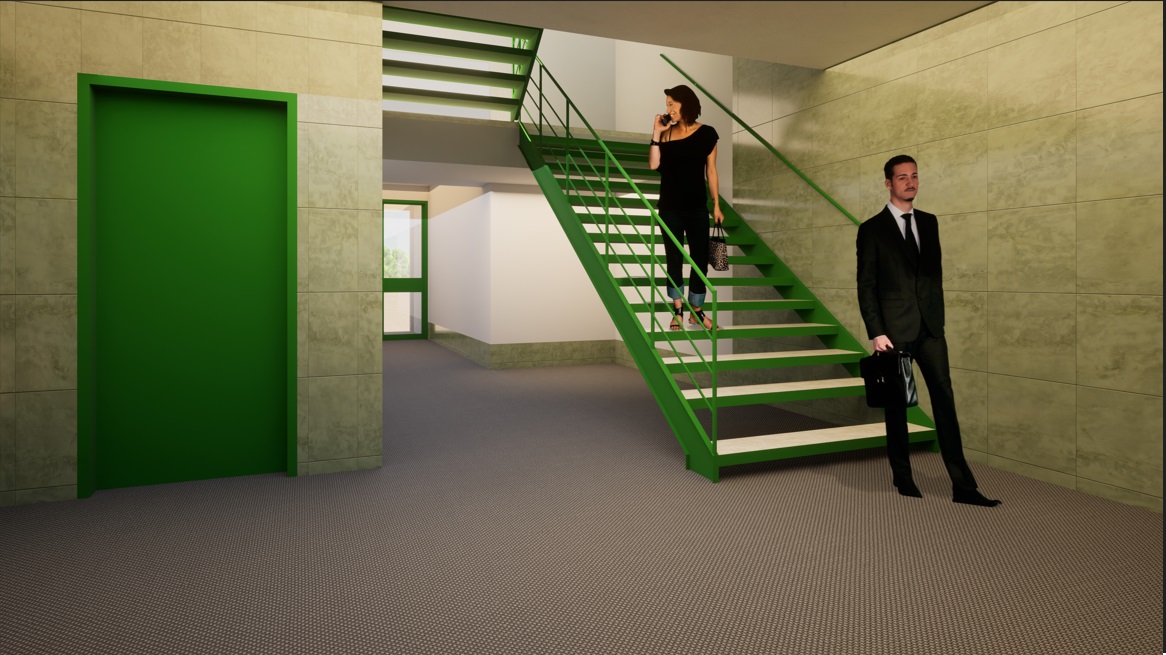
Here we made a Matterport Virtual Tour using a Leica BLK360. We then registered the point cloud data in Cyclone Register, and created the Sketchup file from the point cloud. Both the Sketchup and point cloud files can be downloaded here: https://tinyurl.com/yk7rwztt


